Services
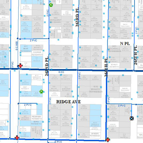
Cartography
Maps should be both beautiful and usable. Contact us for your custom cartographic needs
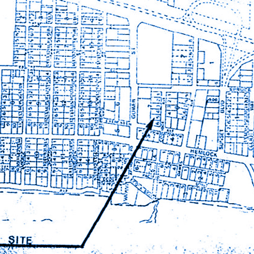
Spatial Data
Development of high-quality spatial data from fieldwork, CAD, as-builts or historic documents.
Information Systems
Desktop and Mobile web applications that put all your information types at your fingertips.